

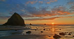


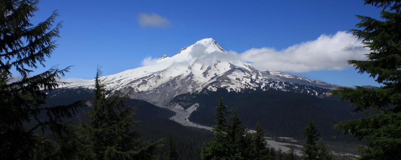


Rising to an impressive 11,245 feet, Mount Hood is the highest mountain in Oregon and ranks as the second most-climbed glacier-covered peak in the world. On clear days, Mount Hood emerges majestically above Portland's skyline, wearing a shrug of snow about its summit that suits well its perch amongst the clouds. This iconic natural landmark is in many ways much like an unofficial deity - even when gray clouds hover (as they sometimes do in these parts) and the mountain disappears from view, you know it's still there, that lurking behind the persistent rain are lush forests, gushing streams, dramatic runs of powder and photogenic panoramas. A relatively short drive from Portland, the mountain is a popular escape for urban dwellers, its green scene reflected in the environmentally-friendly, eco-conscious ways of Oregon's largest city.
Like Mount Rainier, this majestic Cascade Mountain peak is a dormant volcano, though there's been little activity in recent memory; its last eruption came only a few years before the arrival of Lewis and Clark in 1805. At that time, they found along its flanks a wide river still clogged with sediment from the recent eruption, and called it the Quicksand River. Today it is known as the Sandy River, starting just below the peak and flowing some 50 miles toward Portland.
Mount Hood today is home to five downhill ski areas (including the only year-round skiing option in North America and the continent's largest night skiing area) and is the jeweled pinnacle of the Mount Hood National Forest boasting more than a million acres of Mother Nature's best including numerous cross-country trail systems, more than 1,000 miles of hiking trails, dozens of crystal-clear alpine lakes and 80-plus campgrounds. In June, a favorite feature for visitors of lower elevations is the profusion of the area's wild rhododendrons; mushroom collecting and berry-picking are also popular forest visitor pastimes.
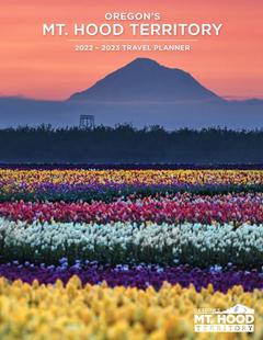
Mount Hood is located in northwest Oregon, east of Portland. To learn more about the area, please select a topic of interest from the navigation bar on the left.


